

A closer look at the forest.
We combine aerial imagery with observations from the ground to understand how restoration sites are developing.
Nature Intelligence
AI-powered analysis to understand nature and guide our restoration work.
We combine aerial imagery with observations from the ground to understand how restoration sites are developing.
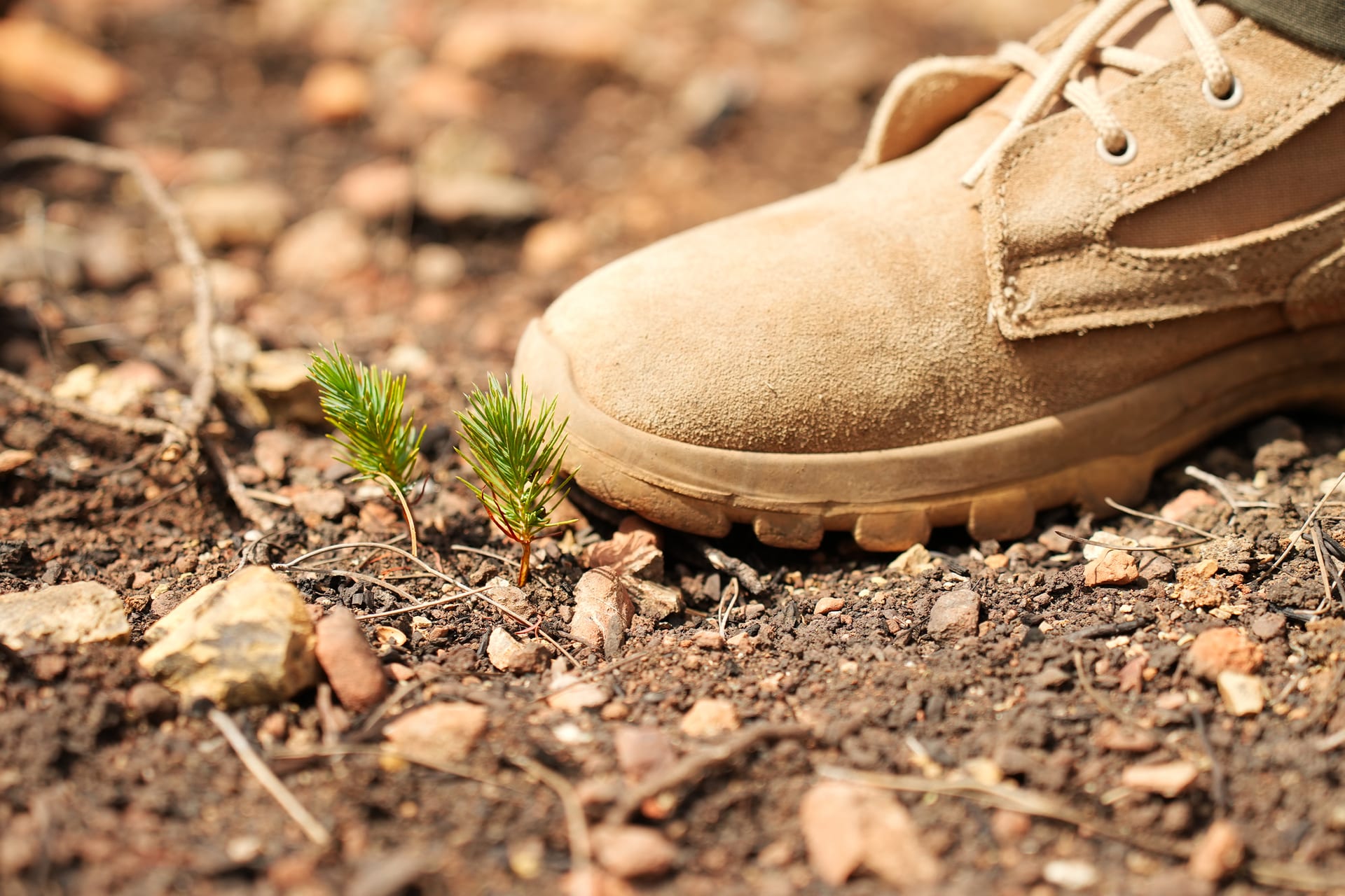
Field teams assess germination and survival in reference plots.
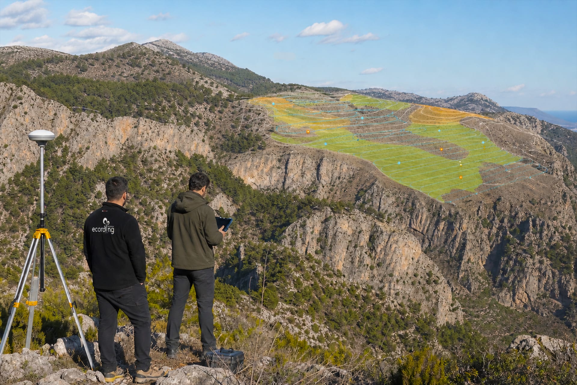
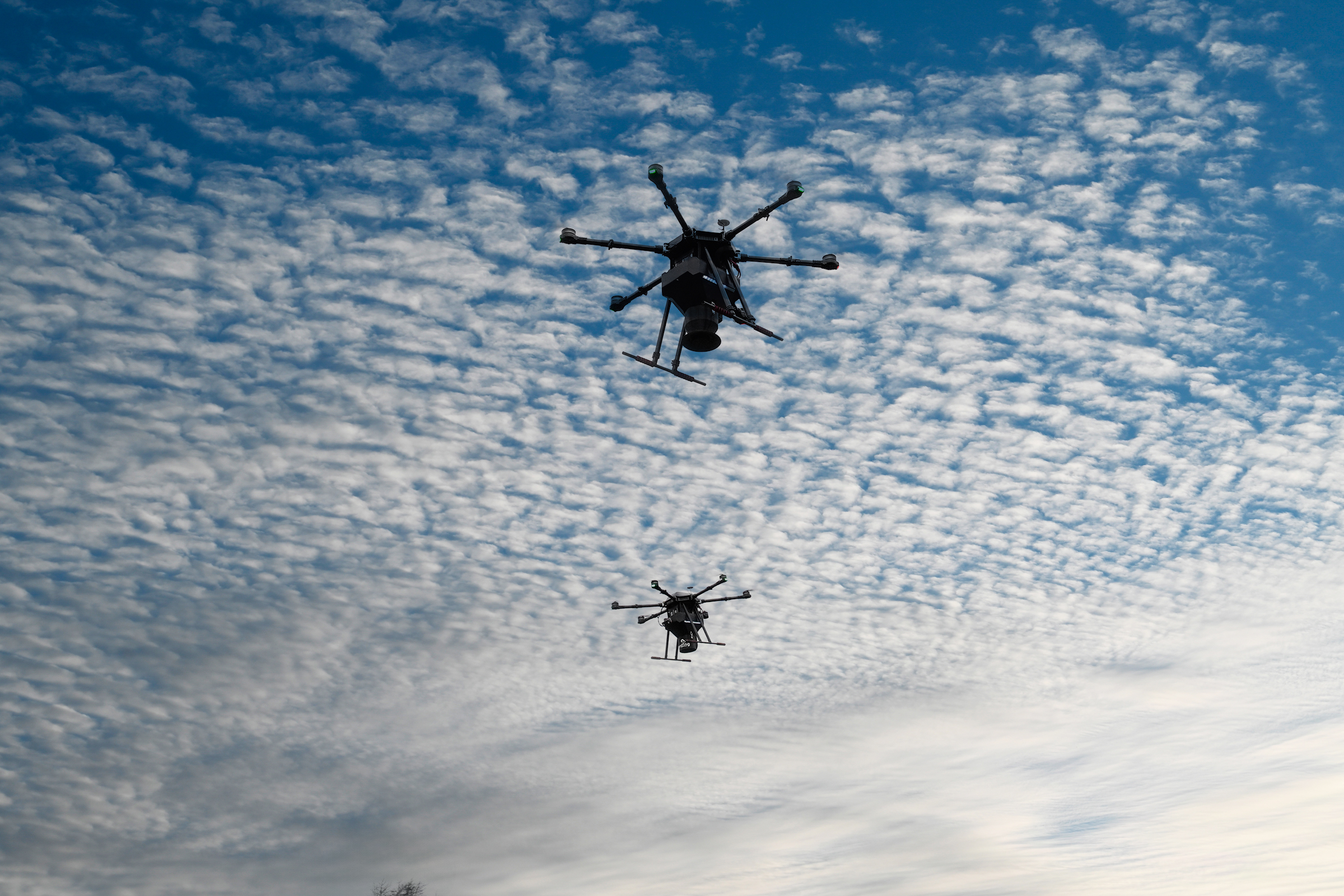
Images from above help us observe vegetation across larger areas.
AI-supported image analysis helps us examine vegetation cover and estimate seedling density. Comparing observations over time helps identify where recovery is progressing and where closer attention is needed.
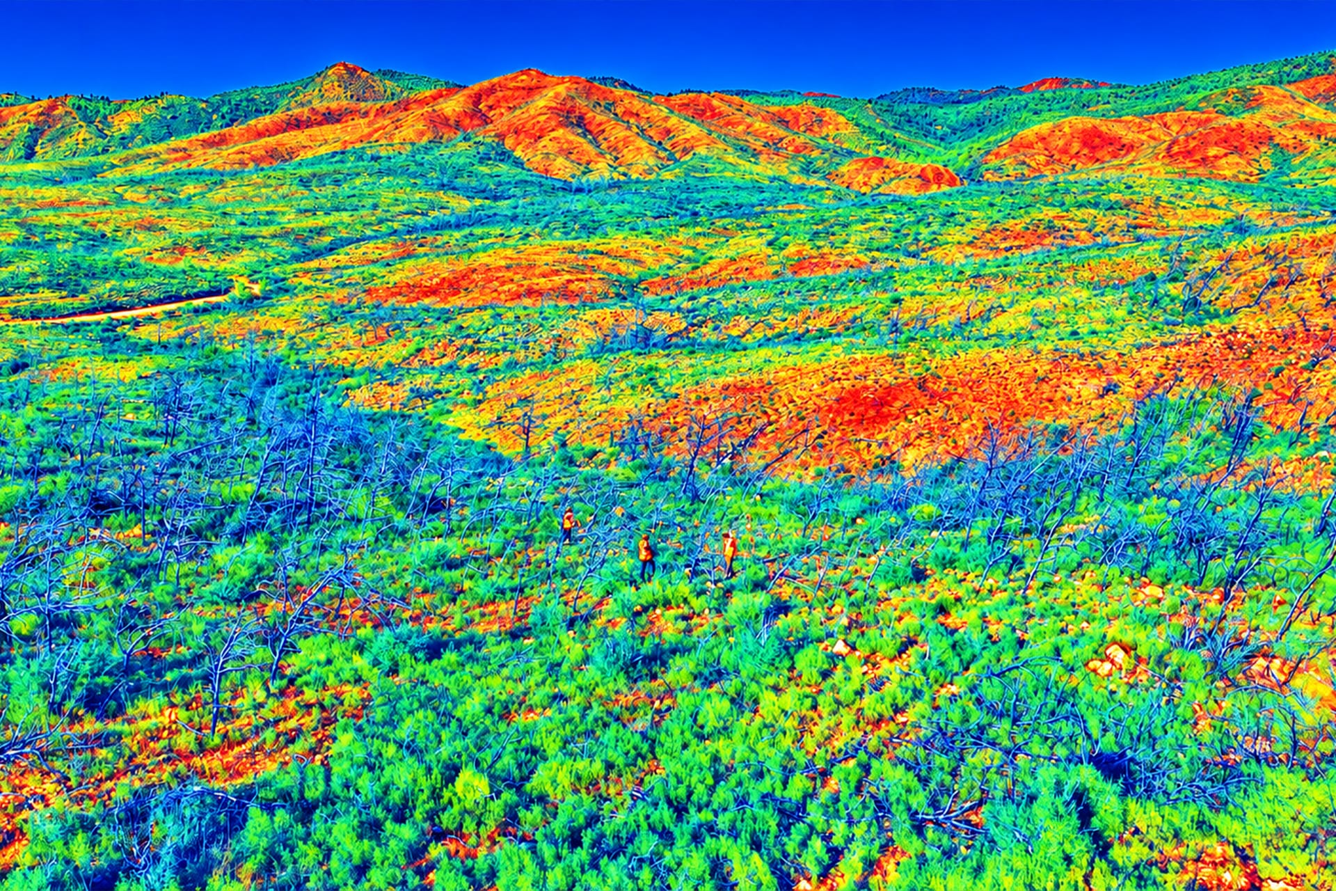
Our team uses these findings alongside field experience and academic guidance to assess the next steps: further planting, a different restoration method or continued monitoring.
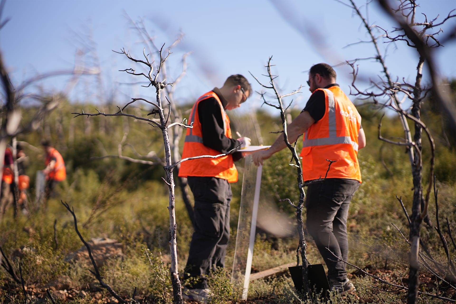
Each site helps us learn more about the conditions that support recovery.
Nature Intelligence supports ecording’s planning and monitoring. Partners follow project updates and reports through NatureOS.
Explore NatureOS Explore ecoDrone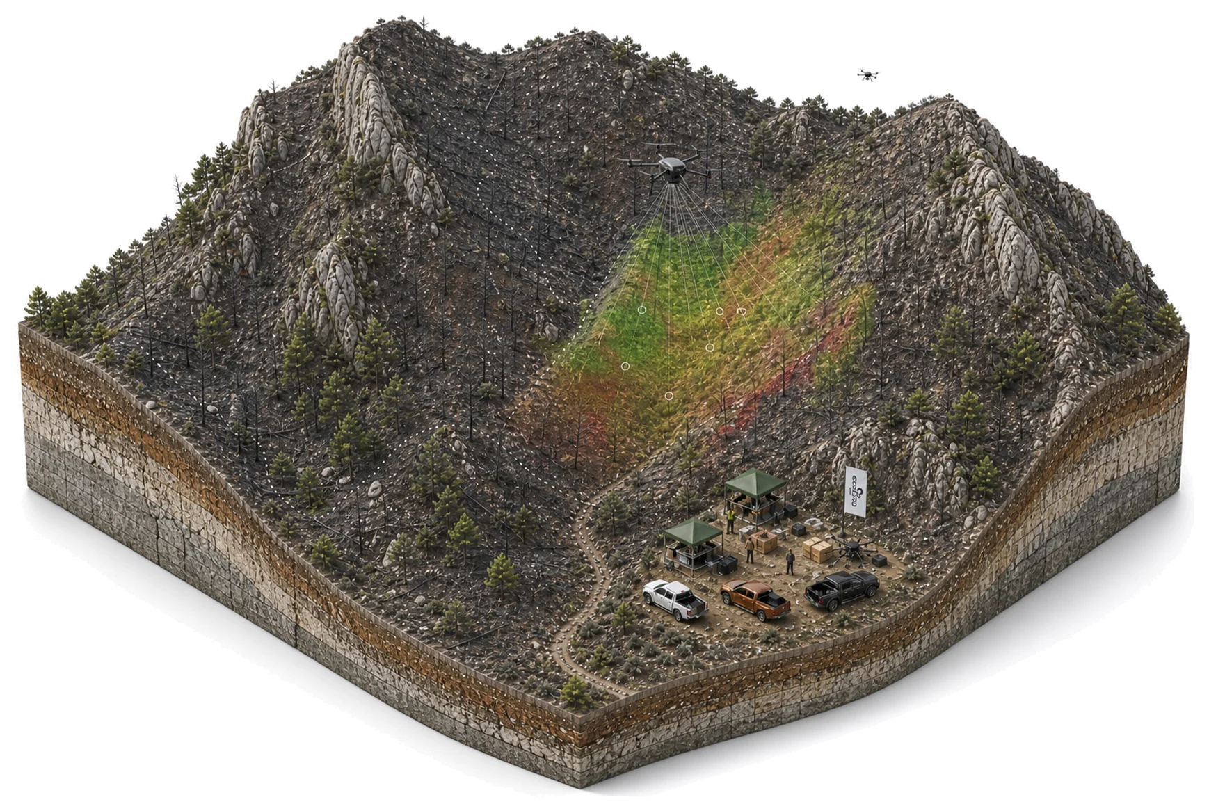
Share your goals. Explore project ideas and see our platforms with the ecording team.
Request a Demo